 PT
PT
 ES
ES
 EN
EN


Não conseguimos encontrar a internet
Tentando reconectar
Algo deu errado!
Aguarde enquanto voltamos ao normal
Enhanced Amazon Wetland Map with Multi-Source Remote Sensing Data
Compartilhar:


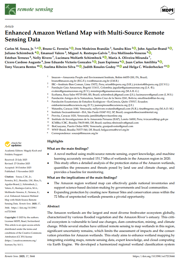
A novel method using multi-source remote sensing, expert knowledge, and machine learning accurately revealed 151.7 Mha of wetlands in the Amazon region in 2020. This study offers a detailed analysis of the protection status of the Amazon wetlands, quantifies the pressures and threats posed by land use and climate change, and provides a baseline for monitoring.
The Amazon region wetland map can effectively guide national inventories and support science-based decision-making by governments and local communities. Expanding protection by creating new Ramsar Sites and conservation areas within the 72 Mha of unprotected wetlands presents a pivotal opportunity.